Exploring the Nahatlatch River, Mehatl Creek Falls, and Grizzly Falls
A couple of wilderness BC Parks in the Fraser Canyon region that can be explored in a long day trip are Nahatlatch Provincial Park and Mehatl Creek Provincial Park. This trip involves a long, scenic drive out a bumpy dirt road west of Boston Bar to see two beautiful waterfalls, one of which includes an 8km roundtrip hike.
The Nahatlatch is littered with history and fortunately I was lucky enough to go with Ron and Lori (aka Hiking For the Scaredy Cat). The remote wilderness area has plenty of spectacular mountain and lake views and lots of opportunities for camping, fishing, and other outdoor recreational activities.
This is not a trip that should be done without proper wilderness preparations, so a few safety tips before you go:
- This trip deep into the wilderness definitely requires a 4×4 with some clearance as there are several sections of the forestry road that are rugged. Overall, the road is in pretty good condition as of July 2018 with the last 2km to Grizzly Falls being the roughest, however the area is not meant for cars and will surely lead to damage and putting yourself at risk by being so far into the wilderness if something should go wrong.
- Make sure to tell someone reliable where you are going and when you expect to be back. It’s a long day trip, so you should expect to be out of cell phone range for the majority of the day. There is cell phone service as you come back into North Bend and Boston Bar. It is recommended to take a backcountry communication device like a Spot or InReach satellite communicator in case you get into trouble.
- Ensure you have plenty of gas for the trip. The whole trip out and back will be roughly 100km of rugged driving.
- There is lots of wildlife in the remote area, including plenty of bears. We saw three bears, including two black bears and one brown bear.
To begin your journey, you will need to drive through the Fraser Canyon to Boston Bar. At Boston Bar Station Road (across from the Esso), follow the road down towards the Fraser, crossing the CN train tracks next to the old station. Turn right after the tracks and drive down to the hill and cross the bridge over the Fraser to the small community of North Bend. Continue following Chaumox Road as it passes several homes, some ranches, before it turns into a gravel road. Follow the gravel road as it turns into the Nahatlatch Forestry Service Road.
Nahatlatch Provincial Park
The road follows the rugged and scenic Nahatlatch River offering many glimpses as you drive westward along the bumpy road. The rivers connects several lakes and has sections with rapids that make it a destination for river rafting.
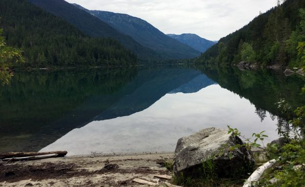
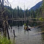
A view of Nahatlatch Lake
The entrance to Nahatlatch Provincial Park is marked by a BC Parks sign with a map of the area. Just after entering the park, you will see the first lake on your left called Frances Lake. The emerald green colour is mesmerizing. As you continue driving, you will also pass Hannah Lake and Nahatlatch Lake. There are several wilderness campsites along the route with minimal services but offering scenic lakeside camping.
Another point of interest that’s worth stopping at is an old trapper’s cabin that is located near the 29km mark. The cabin is in great condition and can actually be camped at (for a fee) and is situated right next to the road and the lake, offering easy access and an incredible view.
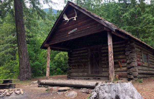
The old trapper’s cabin in Nahatlatch Provincial Park
There are many places to stop and enjoy the view as you make your way up the Nahatlatch FSR.
Mehatl Creek Falls Hike
Near the 38km marker along the Nahatlatch Forestry Service Road (just before a bridge), there is a gravel clearing where a small metal sign marks the start of a 4km hiking trail. This is the trailhead to Mehatl Creek Falls.
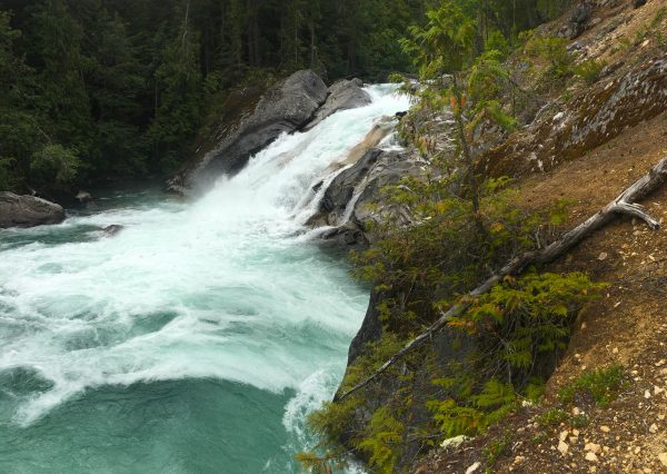
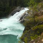
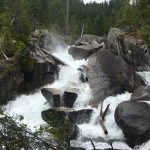
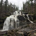
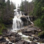
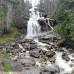
Lower Mehatl Creek Falls
Trail Stats:
Distance: 8km roundtrip
Elevation Gain: 80 meters
Time: 3 hours
Trailhead Coordinates: 49.936944, -121.933628
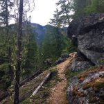
The beginning of the trail is wide with gradual hills as you quickly make your way along an old logging road. A couple of challenges to this hike are that there are a lot of flies in the early months of the summer and there’s often several blowdown, which can slow the pace of your hike.
When the trail reaches the bog, go right onto a narrower trail that follows along side the bog and then continues into the forest again. After walking for sometime, go right at a junction (left takes you to the creek) and continue through sections of the overgrown trail. The trail has a few, brief steep portions but overall is easy to follow.
Within about 1.5 hours, you reach the open area with a view of the Lower Mehatl Creek Falls below. Continue you up the trail along the loose gravel to where the path levels and pass through a small grove of douglas fir trees before arriving at the spectacular view of the Upper Mehatl Creek Falls. Make sure to not venture too close to the water as the river currents can be strong and easily sweep you over the edge.
Follow the same route back, watching your footing as you pass the view of the Lower Falls and continue back down river. After walking for just over 1-hour, you reach the bog where you can quickly make time back to the parking area along the wide trail.
Grizzly Falls
Now that you’ve come this far, you cannot pass up the opportunity to see the spectacular Grizzly Falls. The falls is located only about 4km away and is right next to a forestry road.
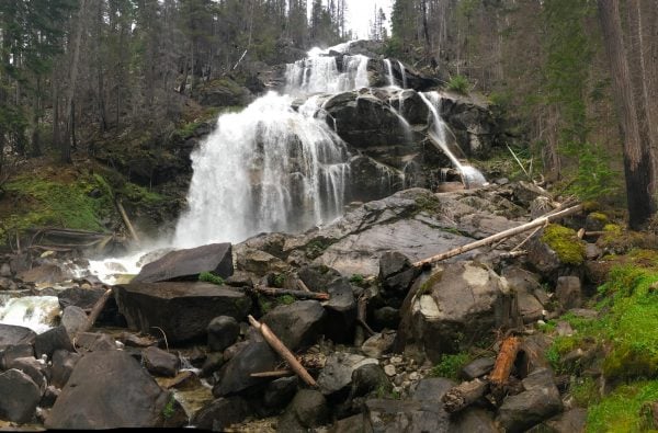
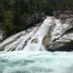
Grizzly Falls
From the parking area by the trailhead to Mehatl Creek Falls, continue driving up the forestry road. You will cross a bridge and continue until you reach a junction where a road goes to the left. Turn left onto this road and prepare for a bumpy drive. Drive for about 2km and, just before a wooden bridge, pull over to see the impressive Grizzly Falls.
Grizzly Falls is probably most spectacular in the late spring when there is a lot of water flowing over the rocks and the spray of the falls makes it all the way to the road.
Return to Boston Bar
After viewing Grizzly Falls, begin the long drive back to Boston Bar by making your way back to the main Nahatlatch Forestry Service Road and beginning the 40km+ drive back. Enjoy the scenery in reverse as the views of the mountains, lakes, and rivers are quite different from different angles.
2 responses to “Exploring the Nahatlatch River, Mehatl Creek Falls, and Grizzly Falls”
Leave a Reply
Comments that gratuitously attack or demean individuals or organizations are not acceptable. We reserve the right to remove comments or any other content we deem unacceptable in our sole discretion, including removing user names and profile pictures. For our full website terms and conditions including our legal guidelines for user postings and comments on www.vancouvertrails.com, please see our Terms of Use and Privacy Policy.


i went all the way to the falls in my honda civic twice. no prob! Ive never ever seen a grizzly there, i imagine they are there though. Too bad the salmon runs here are completely decimated – only a few hundred show up each year. love this area so much. too bad i moved to Toronto!
You’re scaring me with how serious you make it sound!
I found my self on that FSR in my 2WD Honda Element last summer. We found some beautiful spots of the river to climb down to and camped over night in some random pull out that had an old fire at it….are you allowed to camp there? I don’t know the deal….
I have no wilderness experience and the dips in the road were rough but we went as far as we could then back up when the car was slipping on the dust.
Do you know anything about the random camping spots along the FSR?
I need someone to teach me their wilderness ways 😅