Five Favorite Hikes in Southwestern B.C.
There comes a time when a hiker needs and even craves variety. If you are willing to go a little further afield, there are hiking gems scattered throughout the immense region of Southwestern B.C. Unfortunately, for every great hike there are innumerable lackluster, or simply bad hikes. A bad hike is especially disappointing when you have to drive a great distance to reach it. The hikes described here make the drive worthwhile almost every time.
Many criteria were used in choosing these hikes:
- Any two-wheel drive can reach the trailhead
- The trail must be permanent and not too rugged
- The hike must feature variety of terrain and great views
- The hike must have low objective danger
- Access and use of the trail must be free
- The trail cannot have massive elevation gain or massive distances
So here they are!
Manning Park: The Skyline Trail – East
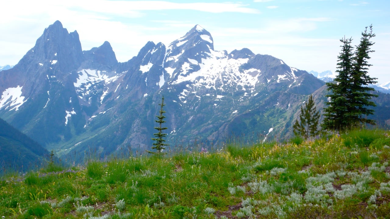
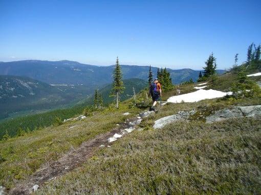
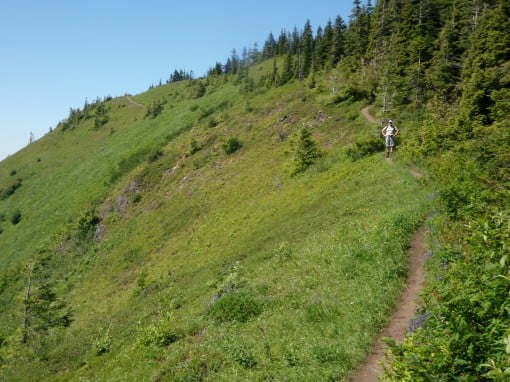
The Skyline Trail East has almost everything a hiker could want: an uncrowded well-graded parks trail that roams across open alpine meadows with expansive views. From Manning Park Lodge (67km past Hope on Highway 3), Turn right onto Gibson Pass Road and drive for 8km to the Strawberry Flats parking area. The Skyline trail begins here. The trail traverses Snow Camp and Lone Goat Mountain, both of which are quick and delightful diversions. The variety of alpine flowers is almost limitless, as are the views of Manning Park and the North Cascades. The lack of crowds, especially after Snow Camp Mountain only adds to the splendor. As with all alpine trails, the only drawback can be the bugs, so come prepared.
Honorable Mention:
Three Brothers Mountain – An equally great hike that is far too crowded due to the high elevation paved access road.
Coquihalla: Zoa Peak
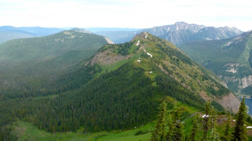
Zoa Peak is a hike with great views, an easy grade and paved access. The hike feels expansive as the trail wanders over the rounded east-ridge, even though it is of modest elevation for this area (1875 meters). The sub-alpine is reached fairly painlessly and the terrain is forgiving. The only issue for the novice hiker on this mountain is navigation. The trail markers are intermittent in the sub-alpine, as is the trail bed. This can be especially problematic in heavy cloud cover. Make sure to bring a map, compass and guidebook.
Honorable Mention:
Mount Thynne – A gentle and scenic alpine hike with many attractive small lakes and numerous pockets of open meadows. Unfortunately, the hike is on a service road with occasional motorized traffic. It is a long drive from Vancouver, but its open vistas are good bang for the buck.
Chilliwack: Elk-Thurston
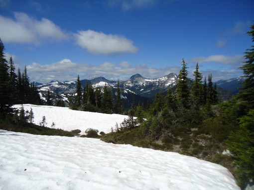
These two mountains comprise one of the most popular hikes in Chilliwack. Despite this, it is often not too crowded. To hike both Elk Mountain and Mount Thurston in one day involves over 1000 meters of elevation gain, and for that reason, it could be considered the Grouse Grind of Chilliwack. That would be an unfair comparison however, since the terrain and views are much more open and lofty. It is very common for residents in the Fraser Valley to hike to Elk Mountain after work when the sun sets late. Those with more time will certainly want to hike the additional 4km from Elk to Thurston. Extremely ambitious hikers can even continue to Mount Mercer to climb three mountains in one long day. Regardless of how far you choose to go, the views from all three mountains are grand and satisfying. Please stay on the trail to protect the sensitive alpine meadows.
Honorable Mention:
Mount Cheam – A phenomenal peak that every hiker should experience, but requires a 4×4.
Pemberton (Duffey Lake Road): Joffre Lakes
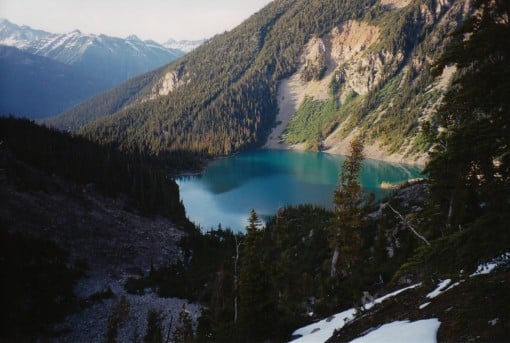
The hike to the three beautiful alpine Joffre Lakes in Joffre Lakes Provincial Park is one never to be forgotten. A gradual and modest elevation gain of 350 meters brings you to some of the jewels of the Coast Range. While each of the three lakes is beautiful in themselves, the views of the spectacular Matier Glacier icefall, and Slalok Mountain with its Stonecrop Glacier are stunning.
The trail is generally somewhat rough, especially where it goes through a rockslide area above the first lake, however, the first 1km is very well maintained and smooth. From the parking lot it is 0.5km to the lower lake, 4km to the middle lake and 5.5km to the campground at Upper Joffre Lake. At Upper Joffre Lake, the trail forks, with the right branch continuing south up the valley towards Mount Taylor and Tszil Mountain. The left branch ends shortly at an undeveloped campground on the shores of Upper Joffre Lake with the dramatic Matier Glacier icefall high above. The only cons of this hike are the potential for crowds and crossing the rockslide.
Honorable Mention:
Gott Peak – A high peak reached from Blowdown Pass with open and striking views. Unfortunately, most of the hike is on the gravel Blowdown Creek Road.
Whistler: Panorama Peak
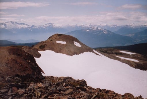
Panorama Peak (2133 meters) is the highest point of spectacular Panorama Ridge on the northeast side of Garibaldi Lake. This peak is right in the center of Panorama Ridge and is often confused with the first knoll at the terminus of the trail (2105 meters).
The journey to this summit begins at Rubble Creek Parking Lot on the trail to Garibaldi Lake. This hike is deservedly one of the most popular in Southwestern B.C., so if you seek less traffic, go during mid-week or begin at Cheakamus Lake and take the trail to Helm Lake (4×4 recommended).
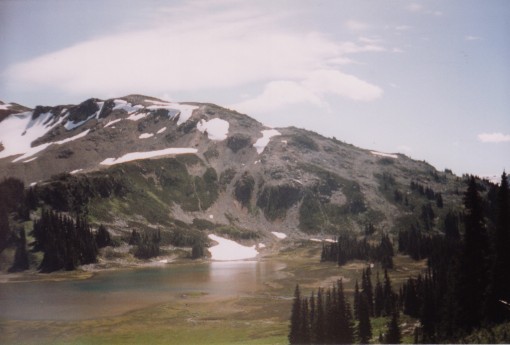
Garibaldi Lake is one of the jewels of Garibaldi Park, but even greater delights are to be found by continuing deeper into the park. First come the magnificent Black Tusk meadows and its brilliant flowers, followed by small lakes and open ridges and valleys. Panorama Ridge can be easily ascended from Black Tusk meadows by trail, and later rock cairns that guide you onto the ridge. To reach the top of Panorama Peak, wander the ridge to its highpoint. From the top are spectacular views of the iconic Black Tusk. The high peaks of Southern Garibaldi Park and its sprawling glaciers such as Mt. Garibaldi lay before you. Further to the Southwest, the entire Tantalus Range looms. While it is possible to do the complete 33.5km hike in day, this part of the park is worth spending a few days in exploration. Please stay on the trail within the meadows and use proper footwear, as the meadows and trail are damaged very easily.
Honorable Mention:
Wedgemount Lake – A steep test of mettle to one of the greatest landscapes in Garibaldi Park.
Chris Ludwig has been and avid hiker, mountaineer and trail builder in the BC Coast Mountains for over 25 years. He currently serves as the Webmaster, Conservation Chair and Volunteer Trail Crew Chief for the B.C. Mountaineering Club. He is also the co-founder and Webmaster for the Garibaldi Park 2020 organization.
Comments that gratuitously attack or demean individuals or organizations are not acceptable. We reserve the right to remove comments or any other content we deem unacceptable in our sole discretion, including removing user names and profile pictures. For our full website terms and conditions including our legal guidelines for user postings and comments on www.vancouvertrails.com, please see our Terms of Use and Privacy Policy.